 Copied
Go to and paste the code at the checkout to enjoy
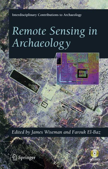
Remote Sensing in Archaeology
Best Price (Coupon Required):
Buy Remote Sensing in Archaeology for $152.10 at @ Link.springer.com when you apply the 10% OFF coupon at checkout.
Click “Get Coupon & Buy” to copy the code and unlock the deal.
Set a price drop alert to never miss an offer.
Single Product Purchase
Price Comparison
| Seller | Contact Seller | List Price | On Sale | Shipping | Best Promo | Final Price | Volume Discount | Financing | Availability | Seller's Page |
|---|---|---|---|---|---|---|---|---|---|---|
|
BEST PRICE 1 Product Purchase
|
|
$169.00 | $169.00 |
|
10% OFF
This deals requires coupon
|
$152.10 | See Site | In stock | Visit Store |
Product Details
Over the last few decades, a revolution took place in our ability to observe and explore our home planet using spaceborne and airborne remote sensing instruments. This revolution resulted from the new capability of observing on a large, regional and global, scale surface patterns and features, and from using multispectral instruments to observe surface signatures not visible to the human eye, and to penetrate below the surface cover using microwave radiation. Over the last decade, this new technology is being brought to bear in the field of archaeology. As nicely and comprehensively described in this book, remote sensing techniques are bringing new powerful tools to help archaeologists in their quest of discovery and exploration. Even though this field is still in its infancy, the different articles in this book give us a glimpse of the things to come and the great potential of remote sensing in archaeology. The editors have brought an excellent sampling of authors that illustrate how remote sensing techniques are being used in the real world of arc- ological exploration. A number of chapters illustrate how spaceborne and airborne remote sensing instruments are being used to decipher surface morphological features in arid (Egypt, Arabia), semi-arid (Greece, Ethiopia, Italy), as well as tropical regions (Costa Rica, Guatemala, Cambodia) to help in archeological and paleontological exploration. They illustrate the use of surface-cover penetration with radars, high-resolution multispectral imaging on a regional basis, as well as topographic signatures acquired with spaceborne and airborne sensors.
Reviews
Questions & Answers

Cancer Clinical Trials
$109.99
Aus der Chirurgischen Praxis
$59.99
An Introduction to Hopf Algebras
$54.99
Autonome Nationalisten
$39.99
Contemporary Topics in Immunobiology
$54.99
Counter-Terrorism Technologies
$139.99
Computer Vision ACCV 2016 Workshops
$54.99
Development and Testing of Vehicle Software and its Influence on Sustainable Transport
$129.00
Verstehen im Unterricht
$39.99
Shakespeare and Ireland
$109.99
The Social and Economic Impact of New Technology 197884: A Select Bibliography
$59.99
Victims Before the International Criminal Court
$169.99
IoT Standards with Blockchain
$54.99
Social Vulnerability in European Cities
$54.99
Traffic Monitoring and Analysis
$54.99
The Big, Brown Pot
$3.71
Hunter-Gatherers
$149.00
Dokumentation in der Mess- und Prftechnik
$29.99
Rick Riordan Presents - A Tristan Strong Novel: Tristan Strong Destroys the World
$6.71
Lightning Engineering: Physics, Computer-based Test-bed, Protection of Ground and Airborne Systems
$169.99
Formoptimierung elastischer Bauteile mit gewichteten B-Splines
$39.99
Partial Differential Equations II
$84.99
Outsourcing Success
$39.99
Advanced Engineering, Technology and Applications
$79.99
Visual Languages
$169.99
Drugs as Tools in Neurotransmitter Research
$129.00
Lean Banking Wege zur Marktfhrerschaft
$54.99
Surgery of the Hip Joint
$84.99
Knowledge-Based Intelligent Information and Engineering Systems
$129.00
Ciomadul (Csomd), The Youngest Volcano in the Carpathians
$44.99
Heinrich Hertz: Classical Physicist, Modern Philosopher
$199.99
Collisions
$39.99
Physics of Earths Radiation Belts
$59.99
Physics and Applications of Non-Crystalline Semiconductors in Optoelectronics
$219.99
18. Internationales Stuttgarter Symposium
$379.99
Laborpraxis Band 3: Trennungsmethoden
$39.99
Development of Hedonic Ofce Rent Indices
$84.99
Chirurgie der verletzten Wirbelsule
$189.00
Cognitive Cities
$109.99
National Geographic Kids World Atlas Book, Sixth Edition Official shopDisney
$24.99